By Sarah Burchard
2 June, 2016
This article was originally published June 2, 2016 and updated on December 4, 2025.
Even though Maui has a dormant volcano that will likely erupt again, Maui’s most active eruption today has nothing to do with lava.
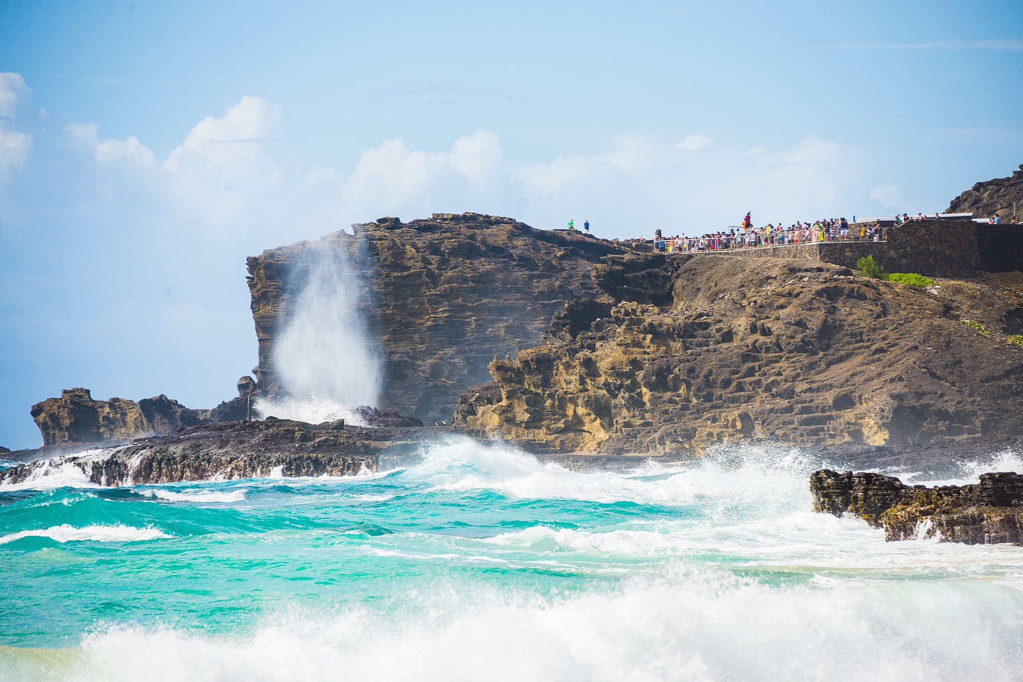
Rather, it’s a forceful explosion of seawater that erupts on a regular basis—often as frequently as every few minutes when the surf and wind are both up. Set on the island’s northwestern coast, Nakalele Blowhole is a natural geyser where seawater trapped in an underwater lava tube is searching for a way to escape.
Since it can’t go back the way it came in—there’s too much pressure from the waves—the only outlet is a tire-sized hole in the jagged, jet-black lava rock, where a column of water is powerfully jettisoned up to 100 feet in the air.

Nakalele Blowhole Eruption - Shutterstock Image
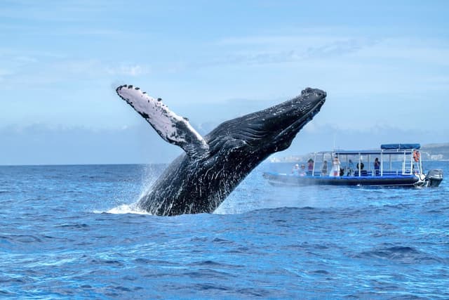
When viewing the Nakalele Blowhole in morning, there is often a rainbow that forms in the mist if you keep the sun toward your back, and whales are often seen leaping in the distance from December all the way through May. Despite the geyser’s beauty, however, it’s important to remember the blowhole is dangerous and accidents frequently happen—particularly when people stand too close and slip and fall on the rocks. In a couple of rare but terrifying instances, the blowhole has sucked people into the hole who were literally standing right over it, and visitors have even drowned at the spot after disappearing in the hole.
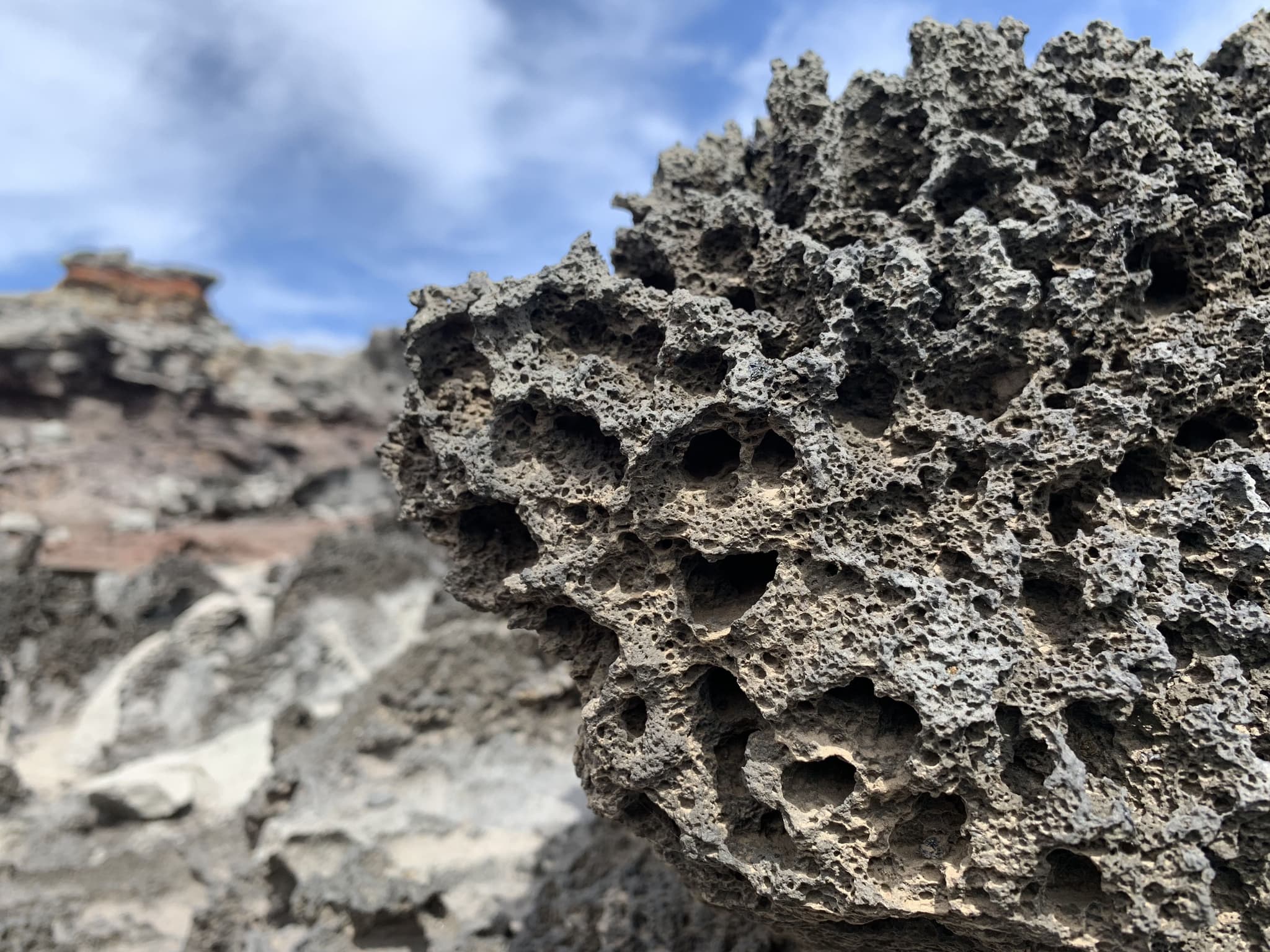
Volcanic Rock - Shutterstock Image
As a rule of thumb, the safest way to view Nakalele Blowhole is to simply stay on dry rocks. Admire and appreciate the blowhole from a distance, and avoid venturing dangerously close, even on the smallest of days. Nakalele Blowhole, while rather consistent, is dependent on both tide and swell, and days with no wind and little north swell can render the blowhole inactive.
To find the trail to Nakalele Blowhole, drive north from Kapalua for approximately 8 miles, and park when you see the mileage marker that says 38.5. There are numerous trails that crisscross the landscape, and they all lead down to the blowhole, but the trail from mile marker 38.5 is not only the safest route but also offers a look at the famous heart-shaped hole in the rock.
Nakalele Blowhole - Shutterstock Image
When you reach the bottom of the scree slope trail and the blowhole is off to your left, turn around and look behind you—placing the blowhole at your back. Here you’ll see a heart-shaped hole that’s formed in the middle of the rocks, and frames a coastal, tropical scene of mountains, seashore, and waves. The hole in the rock is now an Instagram darling—more popular than even the blowhole—though it can never compete with the time-stopping fury that Nakalele can bring; a thunderous, vertical, rainbow-clad marvel, with a view stretching out to the Molokaʻi cliffs, the blue Pacific, and beyond.
Is it safe to visit?
Yes, as long as you stay on dry rocks and keep a wide distance from the blowhole.
How high does it spray?
Up to 100 feet on strong swell days.
When is the best time to go?
Morning often brings clearer views and sometimes a rainbow in the mist.
How do I get there?
Drive 8 miles north of Kapalua and park near mile marker 38.5.
Does it cost anything?
No — free, no reservations required.
Can I stand close?
No. The water force is unpredictable; view from a safe distance only.
Where is the Heart-Shaped Rock?
At the bottom of the trail — face away from the blowhole and look uphill.
Join our newsletter for travel inspiration, insider tips and the latest island stories.
By subscribing, you agree to receive emails from Hawaii.com. You can unsubscribe anytime. See our Privacy Policy.